Visit
Float the Elk. See the bluffs. Mail a card from Christmas City.
The official city site brands Noel “The Christmas City and Canoeing Capital of the Ozarks.” This independent page keeps the postcard next to the safety facts: the river floods, the highway runs under the limestone, and hours belong to the outfitter — not to us.
Float trips and campgrounds
The city’s camping page names three places: River Ranch, WaySide, and Shady Beach. Confirm hours, shuttles, and whether a float is required to camp before you drive. Wear a PFD. The Elk floods.
-
River Ranch Resort
101 River Road, Noel, MO 64854 · 417-475-6121. Site fetched this cycle lists 5- and 8-mile floats (raft, kayak, canoe, tube, glow float), tent and RV camping, cabins, and glamping pods. riverranchresort.com. Also named on noelmo.org/camping.
-
Wayside Campground
201 Minnow Springs Ave, Noel, MO 64854, at Highways 59 and 90. Site fetched this cycle: gravel-bar peninsula campground; Noel River Float is a six-mile run from Trestle Park in Ginger Blue to Wayside; a 12-mile canoe/kayak trip is also listed. Class I–II. waysidecamp.com. Named “WaySide” on the city’s camping page.
-
Shady Beach Campground
14332 State Highway 59, Noel, MO 64854 — the address the city publishes. Site fetched this cycle lists 4- and 8-mile Elk River floats (canoes, kayaks, rafts) and tent, RV, and cabin stays. From Memorial Day to Labor Day the site says booking a float is required to camp. shadybeach.com.
Fetched 14 September 2026 from noelmo.org/camping, riverranchresort.com, waysidecamp.com, and shadybeach.com. Rates change; this page does not copy them.
Elk River conditions
USGS 07189000 — Elk River near Tiff City, Mo. Downstream McDonald County gage. Do not put in on a number this page guessed. Live stage: USGS monitoring location 07189000. NWS forecast point: TIFM7.
See also the river module on the homepage. If the gage is stale, treat the river as unknown — not as “fine.”
The bluff on Highway 59
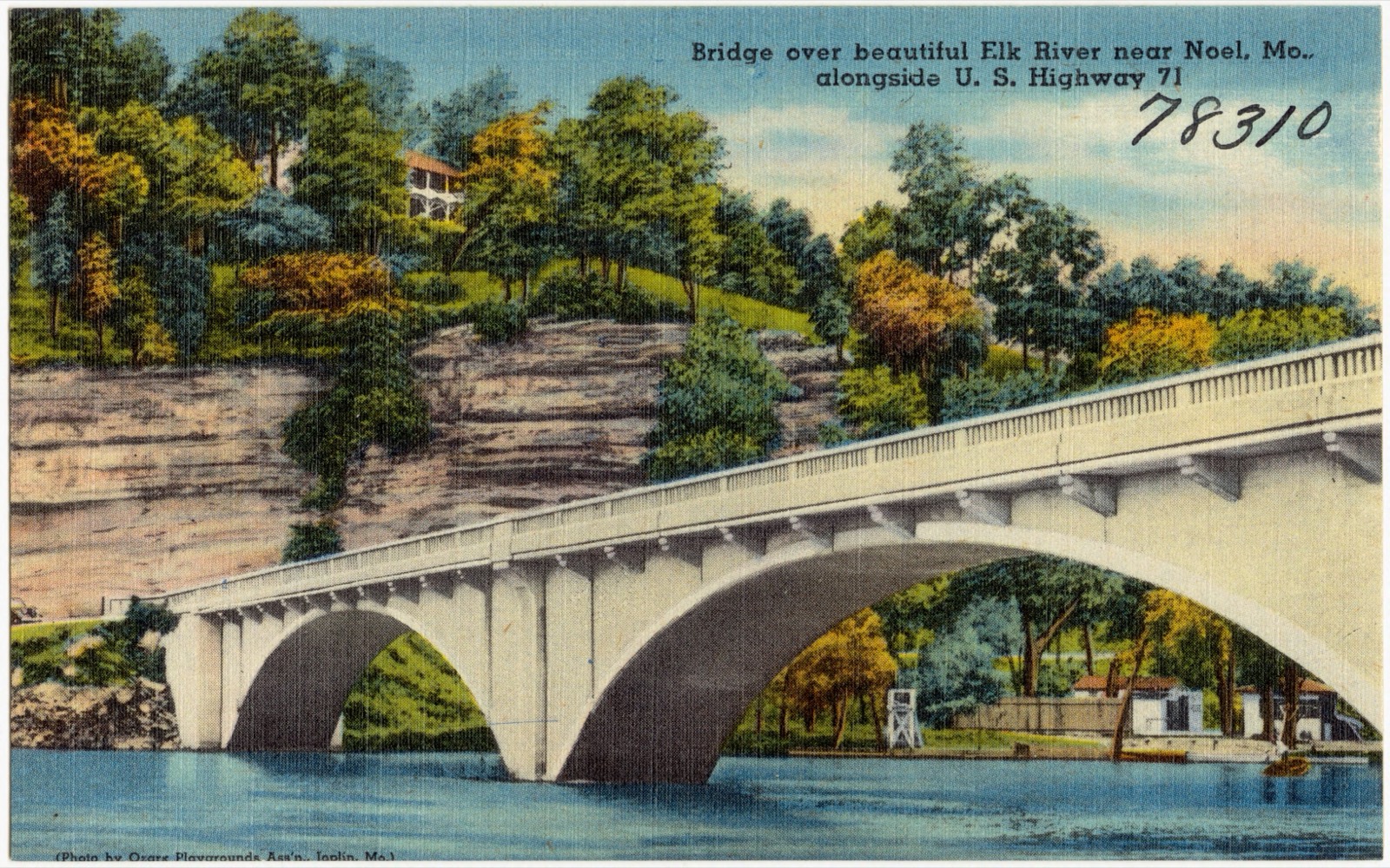
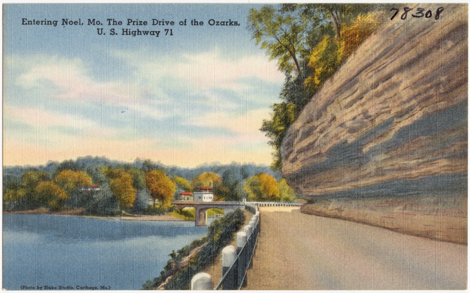
Missouri Route 59 runs the west side of Noel and, south of town, continues to the Arkansas line as Arkansas Highway 59. Wikipedia’s route description, fetched this cycle, says the road runs under some of the bluffs along the Elk, with signs warning of low clearance for trucks, then squeezes between steep rock and the railroad before it enters Noel.
-
Missouri Route 59 through Noel
Route 59 leads north 9 miles to Anderson and south 5 miles to Sulphur Springs, Arkansas. It briefly joins Route 90 near the center of town. Source: Wikipedia — Noel, Missouri (Geography).
-
It is a travel lane, not a pull-off
The limestone cut is real. Stopping in the travel lane is not. Large RVs and high trucks should heed the clearance signs. This page will not invent a scenic-overlook mile marker the state has not posted.
Caves
One show cave just south of Noel is open to the public this cycle. A second historic name, Ozark Wonder Cave, did not resolve to a public operator.
-
Bluff Dwellers Cave
Show cave just south of Noel, discovered in 1925 by C. Arthur Browning and opened to the public in 1927. Still owned by the Browning family. Wikipedia: passages totaling over 4,000 ft in Pierson / St. Joe limestone; one-hour guided tour, Browning Museum, gem panning, gift shop. Closed Thanksgiving, Christmas Day, and New Year’s Day.
-
Address, phone, admission (confirm before you go)
163 Cave Road, Noel, MO 64854 · 417-475-3666. Missouri Division of Tourism (visitmo.com, fetched 14 September 2026) lists admission as ages 12 and older $28; ages 4–11 $16; ages 3 and younger free. Hours on that page (Sun–Thu 10 a.m.–4 p.m., Fri–Sat 10 a.m.–5 p.m.) differ from Wikipedia’s seasonal hours. Trust the cave: bluffdwellerscave.com · buy tickets.
-
Ozark Wonder Cave
Historic name near Noel / Elk Springs. This cycle did not find a public operator, ticket page, or open-hours listing. A 1962 visitor photo on Flickr is captioned that it is no longer open. Treat it as closed private land. Do not trespass.
Christmas City postmark
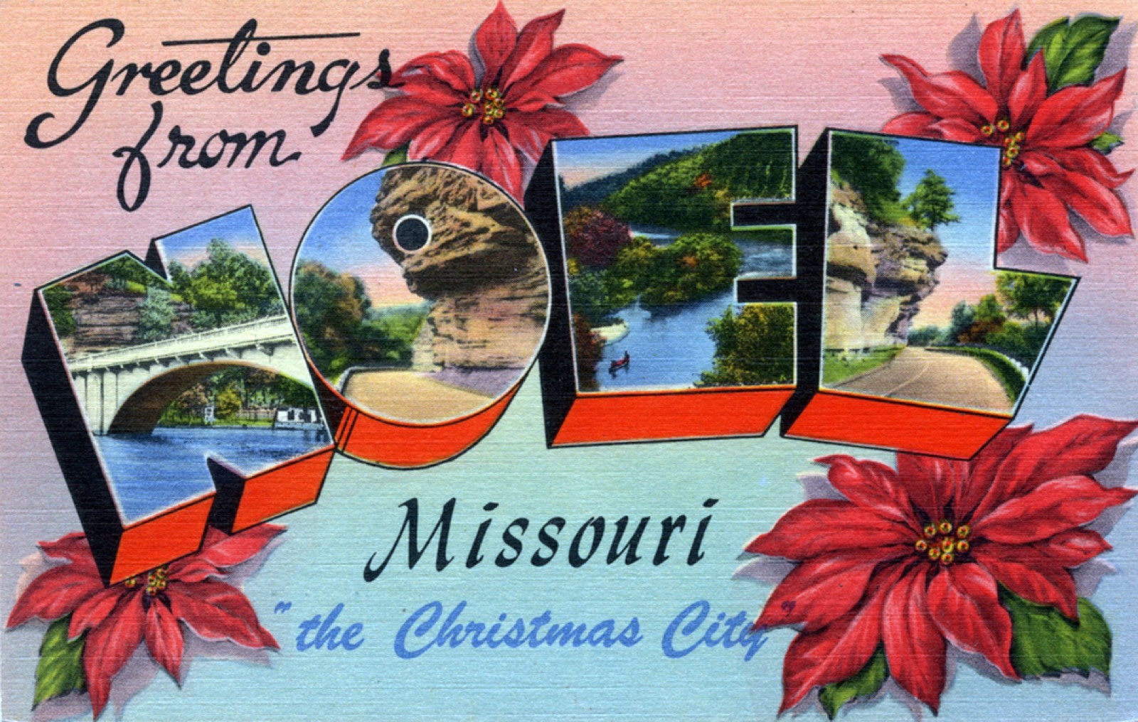
A post office called Noel has operated since 1886. Each year, cards are sent to the Noel Post Office for the cancellation Noel, Mo. - “The Christmas City in the Ozark Vacation Land”. The practice became widely known in the late 1940s after Kate Smith told the “Noel Story” on the radio. ZIP 64854.
This year’s window is not published on the official city site. Ask the Noel Post Office. This page will not invent a drop-off date.
Source: Wikipedia — Noel, Missouri (History), fetched 14 September 2026, citing USA Today. Most of the year, residents pronounce Noel to rhyme with “mole,” for the town’s namesake.
Getting here
Noel is in southwestern McDonald County, 3 miles north of the Arkansas border. Route 90 is Main Street. City Hall is at 306 Main St., Noel, MO 64854.
Emergency: 911. City Hall: 417-475-3696 Source: noelmo.org/contact-us.